

Don’t Forget to Check Your Contour Lines — Especially in Alaska!
We heard the danger before we saw it. A whitewater creek in a narrow valley. My uncle and I stood there on the bank, within sight of the road but blocked by this uncrossable water. Over the snowy ridge to the northwest, the sun was almost down, and we did not have any equipment for the night.
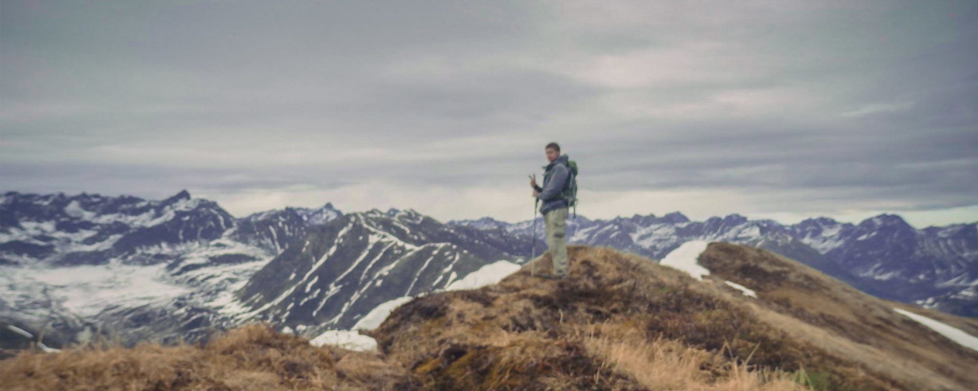
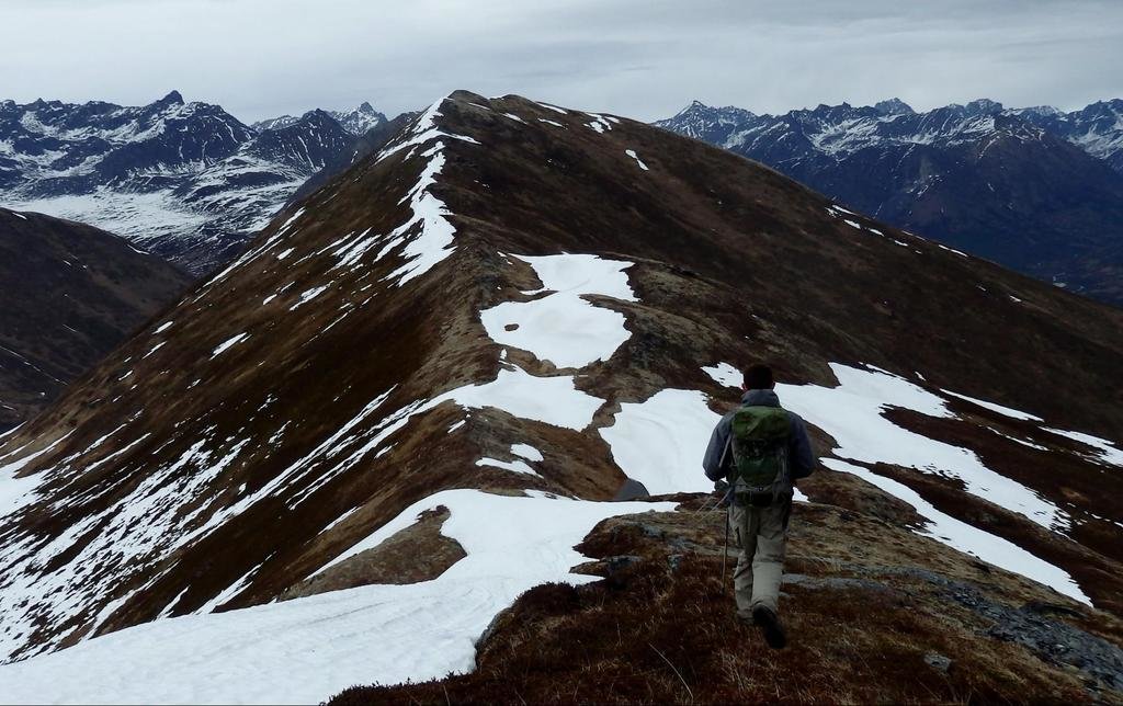
The hike had started easy. It was a quick climb up the south face of Government Peak, just north of Palmer, Alaska. But my uncle and I had decided to do something interesting with this hike. We would descend using the north aspect of the mountain and turn out onto the Hatcher Pass Road.
Before leaving home, we checked the map to make sure we could do this. Everything looked fine, but we noticed a small stream on the map that we would have to cross. Since it looked small, we didn’t think much of it. Big mistake.
We stood there on the bank, a wall of water between us and our goal. We exchanged glances and simply stood still for a few minutes; there was nothing to say.
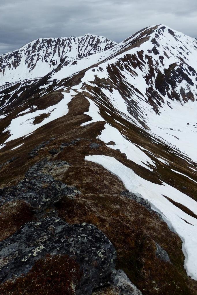
In that moment, our mistake became clear. We re-examined the map and only then noticed how close the contour lines were in this area. Contour lines are small lines on a map that indicate change in elevation over distance. Dense contours means steep terrain, distant contours indicate a gentle slope.
Contour lines often serve as indicators for how passable terrain will be — though they say nothing about dense underbrush! But the reminder here was a bit more general than that. We had forgotten to read our map carefully. Instead, we assumed that the route would be easy.
That type of carelessness brought us face to face with a stream we could not cross. Attention to detail and the ability to read into nuance are two critical functions of a good navigator. We failed at this. However, another important aspect of navigation is the ability to adapt and self correct.
We were both trapped by this creek. We could not cross whitewater, and because the sun was going down and we didn’t have the clothes for the type of weather we’d encounter back on the mountain, we couldn’t go back either.
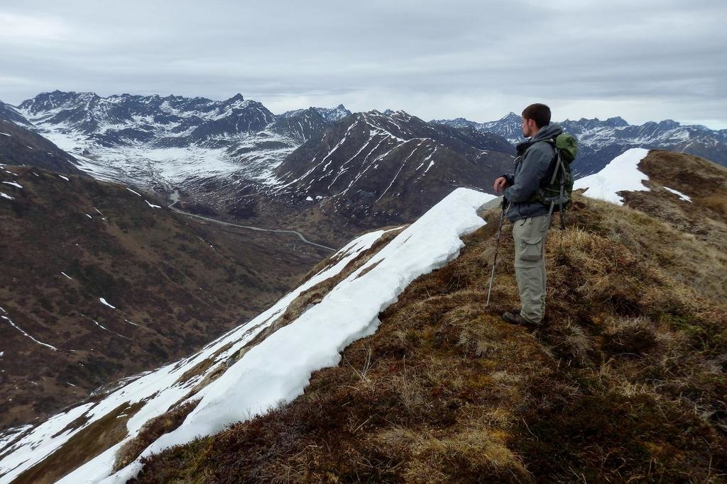
Fishhook Creek dropped hundreds of feet in only a handful of miles. To make it worse, the area was in peak snowmelt, so the flow was swollen above its usual level. But about 1 mile upstream, the river branched in two. Even better, the map showed that the terrain there was relatively flat.
And so we made our way upstream and crossed the Fishhook at a safer place. We even made it back to Palmer in time for a late dinner. We could have avoided this entire misadventure with a more careful reading of the map. Once out in the field, events took control, whereas in planning, we had control.
Making sure to read the map correctly might be the most basic aspect of navigation. What is the scale? The contour interval? Water and weather conditions? Our simple mistake added about an hour to our trek. Had we not found a safe crossing, we would have had to turn back and redo the entire route.
Now when I go into the field, I check the map in detail. I understand my route as best I can, sometimes even using satellite imagery. My adventure on the north slope of Government Peak taught me caution through error, a lesson I don’t intend to learn twice.
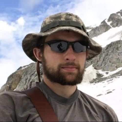
Garland Kennedy is a contributing writer for Coffee or Die. As an avid backpacker and outdoorsman, he has explored wide-open spaces all over North America — from the forests of North Carolina (he’s a graduate of UNC-Chapel Hill with a degree in medieval history) to the mountains of Alaska. His previous bylines include gear reviews on RockChuckSummit.com.

BRCC and Bad Moon Print Press team up for an exclusive, limited-edition T-shirt design!

BRCC partners with Team Room Design for an exclusive T-shirt release!

Thirty Seconds Out has partnered with BRCC for an exclusive shirt design invoking the God of Winter.

Lucas O'Hara of Grizzly Forge has teamed up with BRCC for a badass, exclusive Shirt Club T-shirt design featuring his most popular knife and tiomahawk.

Coffee or Die sits down with one of the graphic designers behind Black Rifle Coffee's signature look and vibe.

Biden will award the Medal of Honor to a Vietnam War Army helicopter pilot who risked his life to save a reconnaissance team from almost certain death.

Ever wonder how much Jack Mandaville would f*ck sh*t up if he went back in time? The American Revolution didn't even see him coming.

A nearly 200-year-old West Point time capsule that at first appeared to yield little more than dust contains hidden treasure, the US Military Academy said.


