Special Operators’ Mapping System Coming to Emergency Responders Nationwide
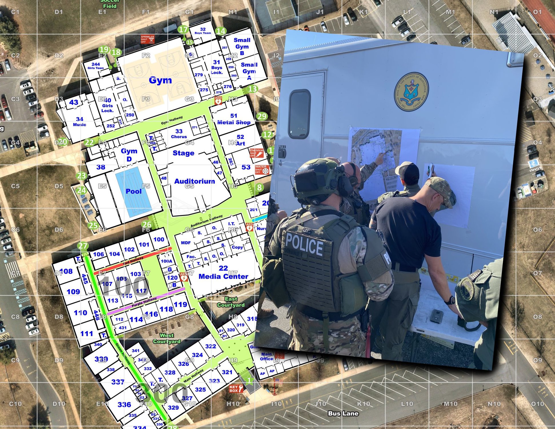
A New Jersey company, Critical Response Group, has brought the concept of the Gridded Reference Graphic — a mapping system many units in the US military use for planning and conducting operations in war zones — to civilian agencies. Images courtesy of the Critical Response Group. Composite by Joshua Skovlund/Coffee or Die Magazine.
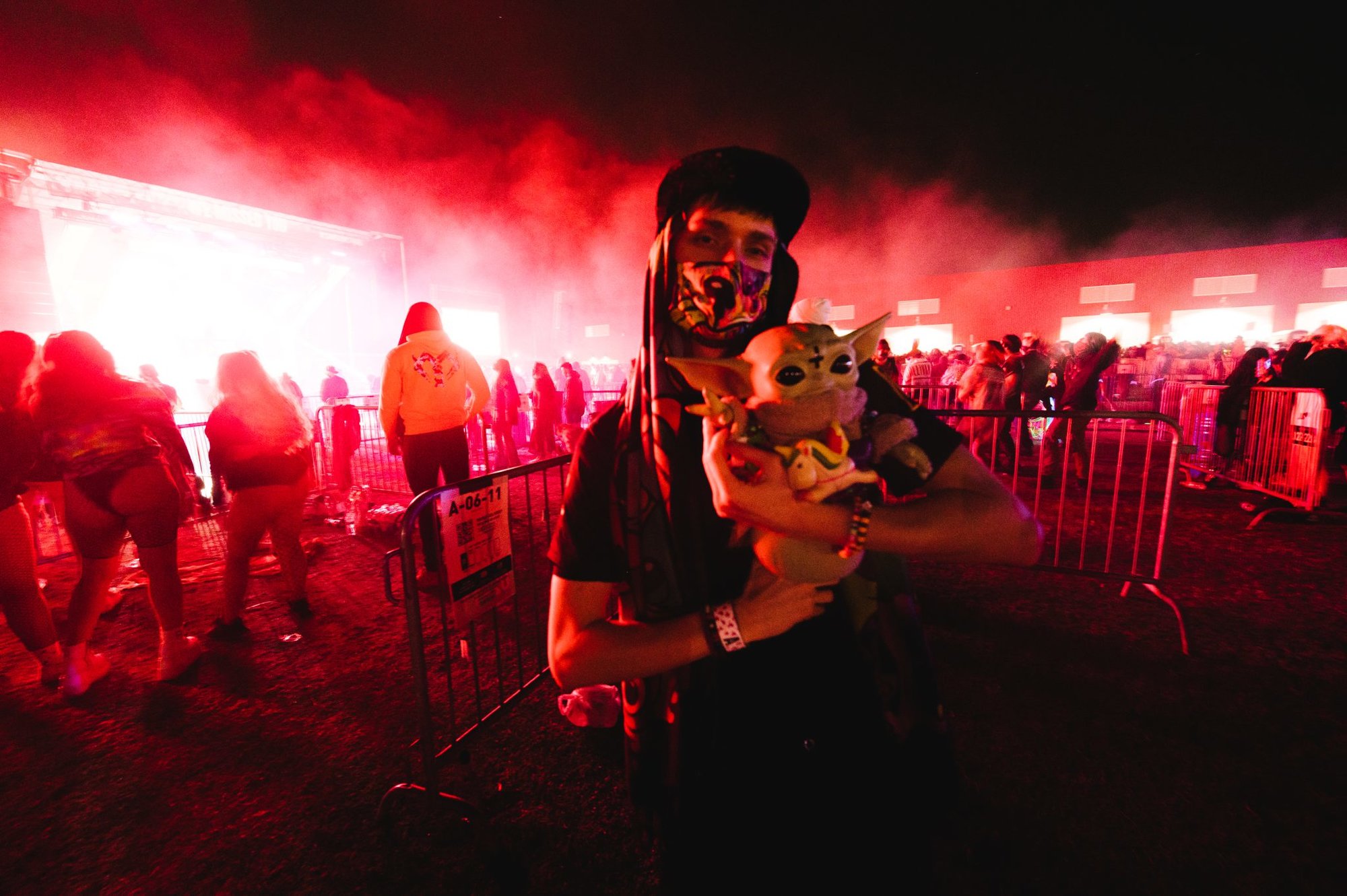
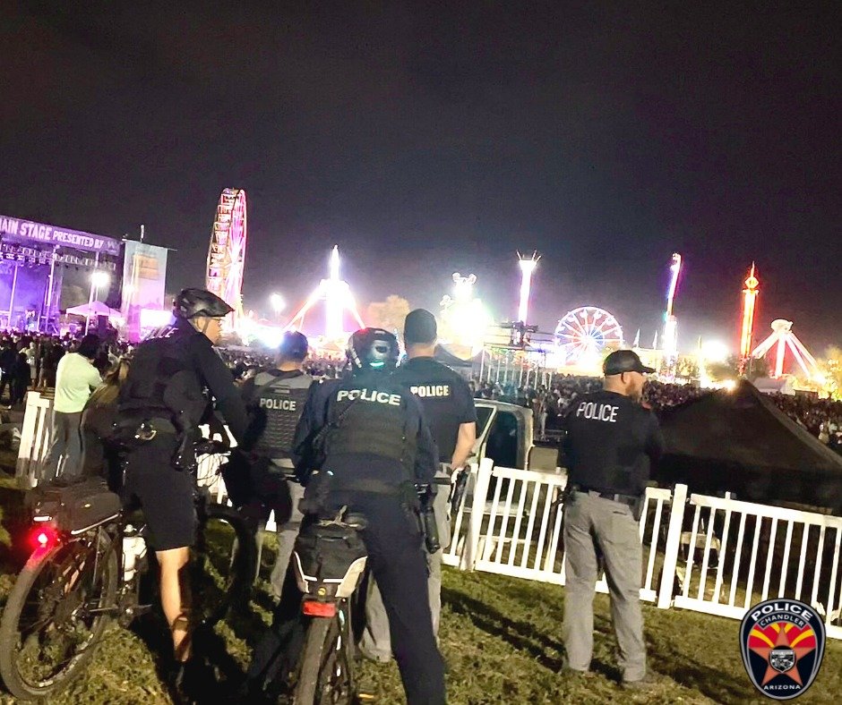
On Thursday, March 19, during Arizona’s annual Ostrich Festival, emergency responders in Chandler needed to quickly reach and retrieve an unresponsive patient within a crowd of tens of thousands of people inside Tumbleweed Park.
But Chandler Police Department Communications Manager Michelle Potts wasn’t worried. Thanks to a new software system, not only could dispatchers send EMTs to the exact grid location to meet up with the police who got to the patient first, but emergency personnel could also track each other’s positions on digital maps throughout the rescue.
They were using “Collaborative Response Graphics,” the brainchild of a pair of US Army Rangers, Mike Rodgers and Ethan Killeen, two of the five founders of Critical Response Group.
That’s a New Jersey-based company that partners with defense industry giant BAE Systems to bring the same level of digital maps and command and control capabilities that special operators rely on to first responders nationwide, including the cops and EMTs in Chandler.
“Our goal is to map every piece of critical infrastructure in the country,” Rodgers told Coffee or Die Magazine. “So, every school, every hospital, every water treatment plant, every government building, to make sure the cops and firemen have accurate data.”
Rodgers and Killeen met a dozen years ago when they were assigned to Headquarters Company, 1st Battalion, 75th Ranger Regiment, in Savannah, Georgia. Rodgers was the fire support officer, and Killeen was a platoon sergeant.
After three years in the command, they went their separate ways, but they reconnected in 2016 and began discussing how they might adapt a Gridded Reference Graphic — a mapping system many units in the US military use for planning and conducting operations in war zones — for civilian agencies.
They wanted to arm first responders with a digital map that would show both a macro view of the surrounding area and a detailed grid layout of a building or public space. The grid squares would be labeled and updated if changes were made to the structure or setting.
The concept seemed solid, so the two Rangers took their idea to Rodgers’ dad, Frank Rodgers, and Philip Coyne. Both men had spent decades in the New Jersey State Police before retiring as high-ranking officers.
They gave their feedback, the Rangers adapted their Collaborative Response Graphic, and Frank Rodgers now serves as chairman of the company, and Coyne is the president of the board.
Alex Carney, the company’s chief operating officer and a veteran of the US Marine Corps’ Special Operations Command, joined the team in late 2016 while the others were hammering out the details. Or, as Mike Rodgers puts it, Carney “makes the sausage.”
The company now has 45 employees helping him make the sausage, mapping critical infrastructures like high schools, college campuses, sporting venues, and airports, across 22 states. When their charts are finished, they give the maps free of charge to local first responder agencies.
“So, all the time, police departments will call us in extremis for a missing child, a police officer shot, or some type of critical incident,” Mike Rodgers said. “The thought to bill them doesn’t even cross our mind.”
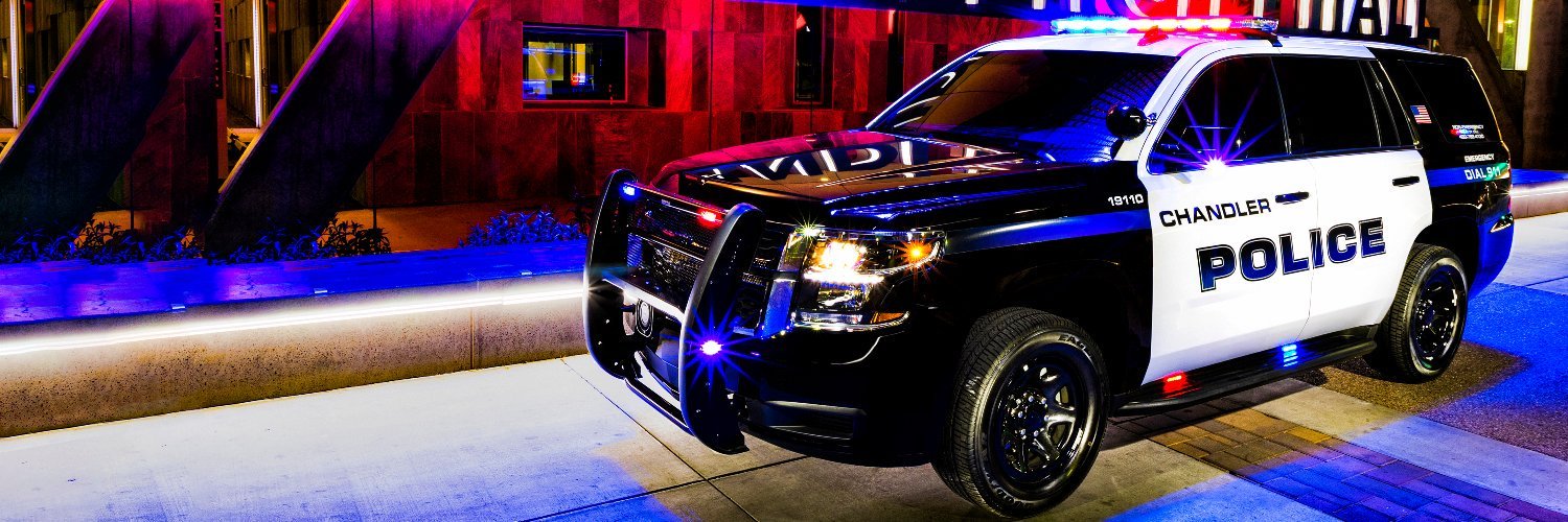
Potts said dispatchers and first responders in Chandler rely on Collaborative Response Graphics all the time for emergencies large and small. She pointed to units that used it when responding to public demonstrations that erupted there in the wake of an officer-involved shooting on Jan. 2, 2021, and a lithium battery warehouse that caught fire on April 18, 2022.
To Potts, the software is slashing response times and creating more efficient emergency planning, and that helps keep first responders safe.
And there’s been a boomerang effect, too.
Enhancements in the mapping software requested by law enforcement “have benefited the SOCOM community,” said BAE’s Geospatial Exploitation Products sales account manager Benjamin Kennedy, a former US Marine Corps Imagery Intelligence Analyst.
Read Next:
Joshua Skovlund is a former staff writer for Coffee or Die. He covered the 75th anniversary of D-Day in France, multinational military exercises in Germany, and civil unrest during the 2020 riots in Minneapolis. Born and raised in small-town South Dakota, he grew up playing football and soccer before serving as a forward observer in the US Army. After leaving the service, he worked as a personal trainer while earning his paramedic license. After five years as in paramedicine, he transitioned to a career in multimedia journalism. Joshua is married with two children.
BRCC and Bad Moon Print Press team up for an exclusive, limited-edition T-shirt design!
BRCC partners with Team Room Design for an exclusive T-shirt release!
Thirty Seconds Out has partnered with BRCC for an exclusive shirt design invoking the God of Winter.
Lucas O'Hara of Grizzly Forge has teamed up with BRCC for a badass, exclusive Shirt Club T-shirt design featuring his most popular knife and tiomahawk.
Coffee or Die sits down with one of the graphic designers behind Black Rifle Coffee's signature look and vibe.
Biden will award the Medal of Honor to a Vietnam War Army helicopter pilot who risked his life to save a reconnaissance team from almost certain death.
Ever wonder how much Jack Mandaville would f*ck sh*t up if he went back in time? The American Revolution didn't even see him coming.
A nearly 200-year-old West Point time capsule that at first appeared to yield little more than dust contains hidden treasure, the US Military Academy said.

